
Manang Road Trip Guide: Route, Altitude and What to Expect
A practical guide to the drive into Manang, including road conditions, altitude, key stops and packing advice.
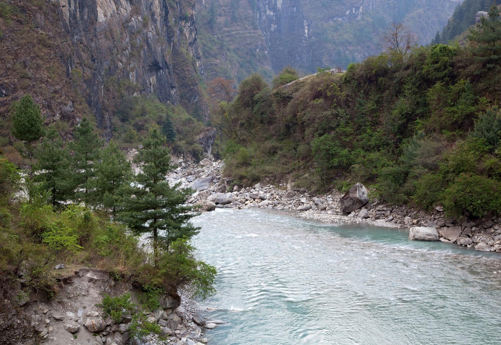
Manang is not simply a destination. The road itself is the experience, following the Marsyangdi River from green middle hills into a wide Himalayan valley shaped by cliffs, glaciers and Tibetan-influenced villages.
Why travel to Manang by road?
The overland route reveals Nepal's changing geography one valley at a time. Waterfalls, suspension bridges, apple farms and high mountain walls make the journey feel dramatically different from a quick flight.
A road trip also gives your body more time to adjust to altitude, although every traveller should still take acclimatisation seriously.
Best time to visit
March to May and late September to November usually offer the clearest views and most comfortable conditions. Spring brings warmer days, while autumn is known for crisp skies.
The monsoon can make sections of the road difficult, and winter snow may affect access beyond the lower valley.
Key stops on the route
A well-paced itinerary makes room for the places between Kathmandu and Manang.
- Dharapani for the first overnight stop
- Bhratang for apple products and mountain scenery
- Braga Monastery for history and valley views
- Gangapurna Lake near Manang village
- Bandipur as a relaxed stop on the return journey
Altitude and packing advice
Manang village sits above 3,500 metres. Drink water regularly, avoid rushing, and tell your guide or driver immediately if you develop a persistent headache, nausea or unusual fatigue.
- Warm layers and a windproof outer jacket
- Sun protection, sunglasses and lip balm
- Personal medication and a small first-aid kit
- Power bank and offline maps
- Comfortable shoes with reliable grip